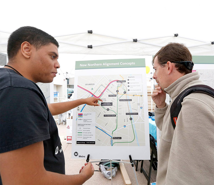
Designed as a user-friendly tool that gives interested people around the country the ability to evaluate the performance of the transit zones in their neighborhoods and towns.
-
Who We Are
About CNT
Center for Neighborhood Technology is a leader in promoting more livable and sustainable urban communities.
-
What We Do
We make cities work better
CNT delivers innovative analysis and solutions that support community-based organizations and local governments to create neighborhoods that are equitable, sustainable, and resilient.

“In 1978, I envisioned creating Center for Neighborhood Technology out of a belief that we needed new institutions that put communities and professionals on an equal footing.”
~ Scott Bernstein, CNT Founder
-
Our Work
Project Spotlight
Washington Transit Access Map
The Washington Transit Access Map allows you to look up information about the type of transit service available in any location in Washington State. The map is tool for advocates, planners, policymakers, researchers, and students interested in understanding where transit is frequent and reliable, who has access and who doesn't. -
Publications
Recent PublicationsFebruary 29, 2024December 23, 2023
-
Stories
Latest PostsMarch 26, 2025February 25, 2025


 Strengthening Transit Through Community Partnerships